[vc_row][vc_column][vc_column_text]
Author- Srishti Singh; Artwork in collaboration with Anubha Garg
Editors- Sara, Neymat, Riya
Water Seekers’ Fellow 2020 – SPRF India and Living Waters Museum
[/vc_column_text][/vc_column][/vc_row][vc_row][vc_column width=”1/6″][/vc_column][vc_column width=”2/3″][ohio_text text_typo=”null”]
Introduction
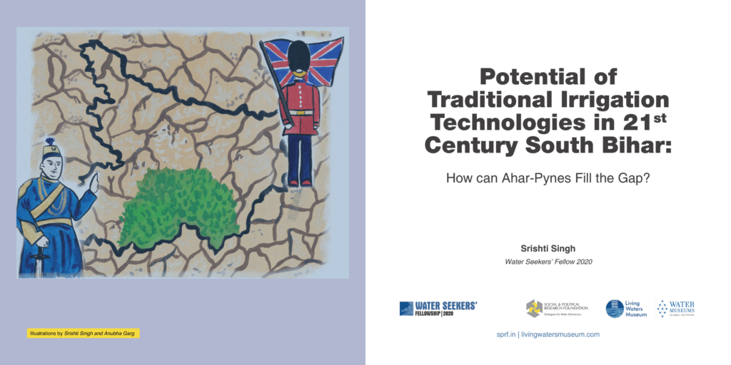
Sixty per cent of South Bihar is vulnerable to droughts (Government of Bihar n.d.). This statistic is not surprising if we were to look at the physiography with scanty rainfall and lack of perennial rivers. However, in stark contrast, the same region was classified as immune to famines in the Colonial era, even as water abundant regions faced famines (Sengupta 1980). To the surprise of the colonial officers, functional indigenous irrigation technology such as Ahar-Pynes helped South Bihar evade famines.
Instances of famines in India are enmeshed with the institutions that govern the nation and affect its agriculture systems. The downward trajectory of famines in India coincides with its transition from a colony to a functional democracy (Sen 1981). Yet, post-independence South Bihar continues to be drought-prone along with its susceptibility to vagaries of nature despite the existing pioneering Ahar-Pynes in a feudal and colonial set-up.
While there is consensus that participatory irrigation management is a must for the success of irrigation strategies, it is pertinent to understand the causes of their fragility (Pandolfelli et al., 2007). Placing the technology in the institutional framework developed by Elinor Ostrom, a Nobel Prize awardee American economist, to study Common Pool Resources, this paper seeks to understand the variables in the governance set up that engender uncertainty and impact longevity. We must correct them before nesting Ahar-Pynes in the broader irrigation strategy.
Description of South Bihar and Ahar-pynes
Bihar can be divided into two regions, namely North and South Bihar. The slope of South Bihar enables the building of embankments. The soil is drier in South Bihar, rainfall is more erratic, and groundwater levels are lower. Therefore, we see Ahar-Pynes primarily in the South. This system is known to help in both drought and flood management. The system is built in areas such as Gaya, Nawada, Munger (Figure 1 below), which lie in both flood-prone and drought-prone areas. [/ohio_text][vc_empty_space height=”30px”][/vc_column][vc_column width=”1/6″][/vc_column][/vc_row][vc_row][vc_column][vc_empty_space height=”50px”][/vc_column][/vc_row][vc_row][vc_column][vc_row_inner][vc_column_inner width=”1/6″][vc_empty_space][/vc_column_inner][vc_column_inner width=”4/6″][vc_cta h2=”” h4=”Click here for the full report!” txt_align=”center” style=”3d” color=”peacoc” css_animation=”slideInUp”] [/vc_cta][/vc_column_inner][vc_column_inner width=”1/6″][vc_empty_space][/vc_column_inner][/vc_row_inner][/vc_column][/vc_row][vc_row][vc_column][vc_empty_space height=”100px”][/vc_column][/vc_row]


