New Town and Rajarhat are neighbourhoods located in the North 24 Parganas district of West Bengal. Situated on the north-eastern side of Kolkata, they are newly planned and peri-urban satellite townships that underwent rapid urbanisation since the late 1990s. Historically, this area consisted of cultivable lands and water bodies which have now been acquired in a planned manner, giving way to Information Technology hubs and massive real estate development. The slow destruction of nature every day in New Town and Rajarhat due to developmental activities has become a major ecological concern. This photo essay attempts to show how an area rich with natural resources is now facing the steady disappearance of these very resources.
As the erstwhile Left Front government in West Bengal wanted to bring in industries for development, they had to rely on available land close to the city of Kolkata. The government persuaded farmers to give up their land for compensation and promised more jobs. However, the irony lies in the fact that Rajarhat was one of the most fertile regions in West Bengal. The land produced three to four crops in a single year, including Aman, Aush, and different kinds of Ravi and Kharif crops. Parallelly, Rajarhat and New Town were significant regions of pisciculture and milk production, delivering not only to Kolkata but also surplus crops to sustain itself [1].
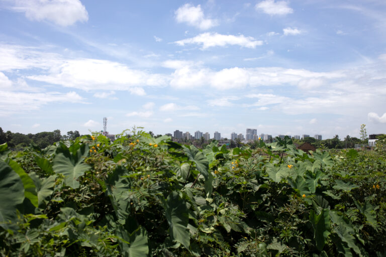
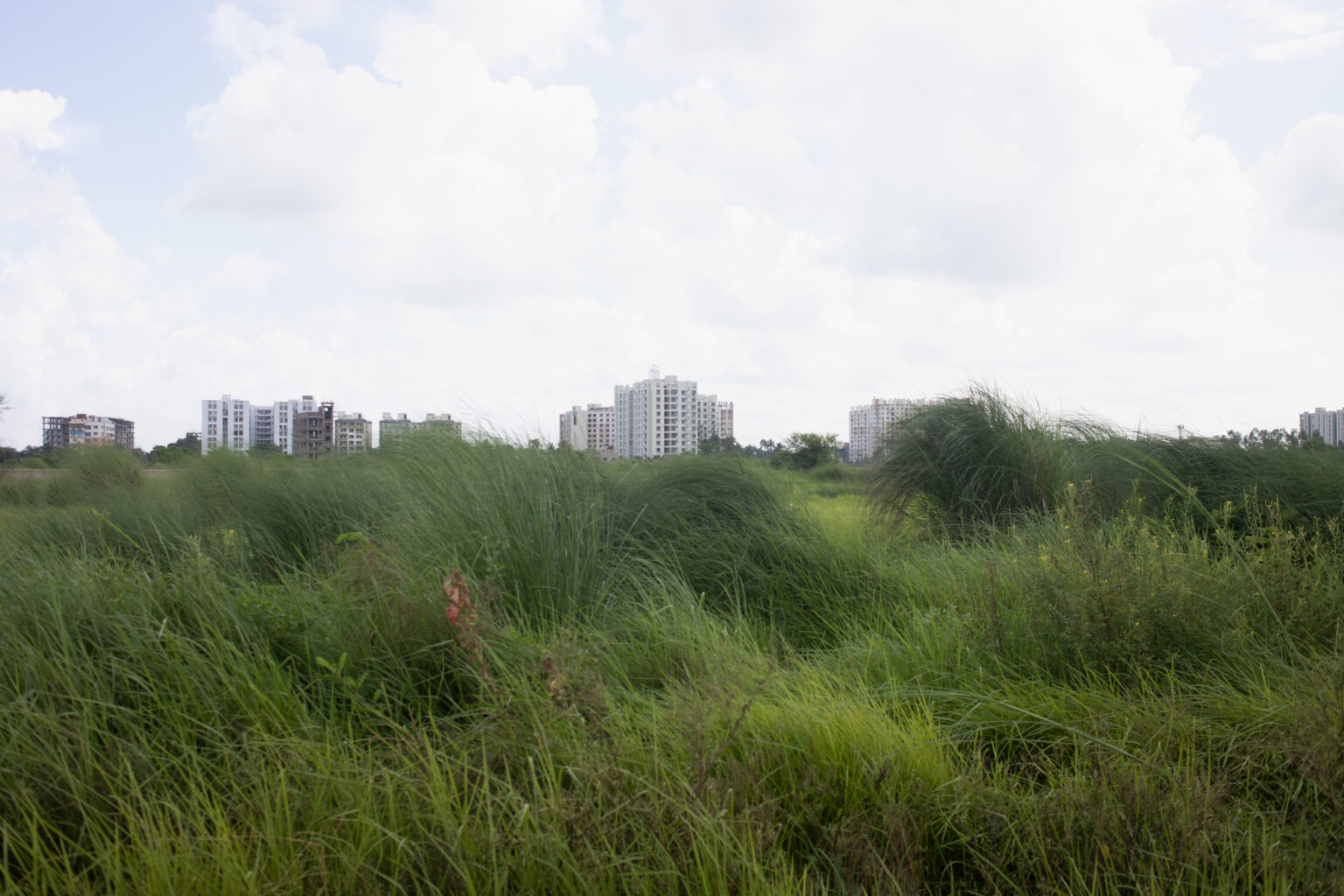
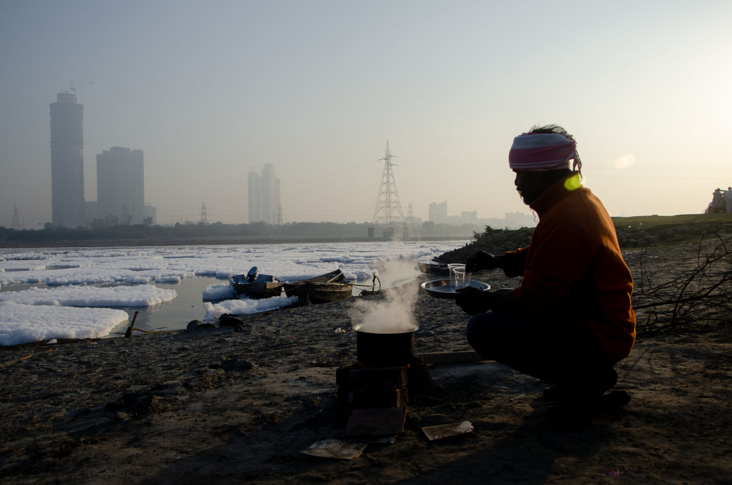
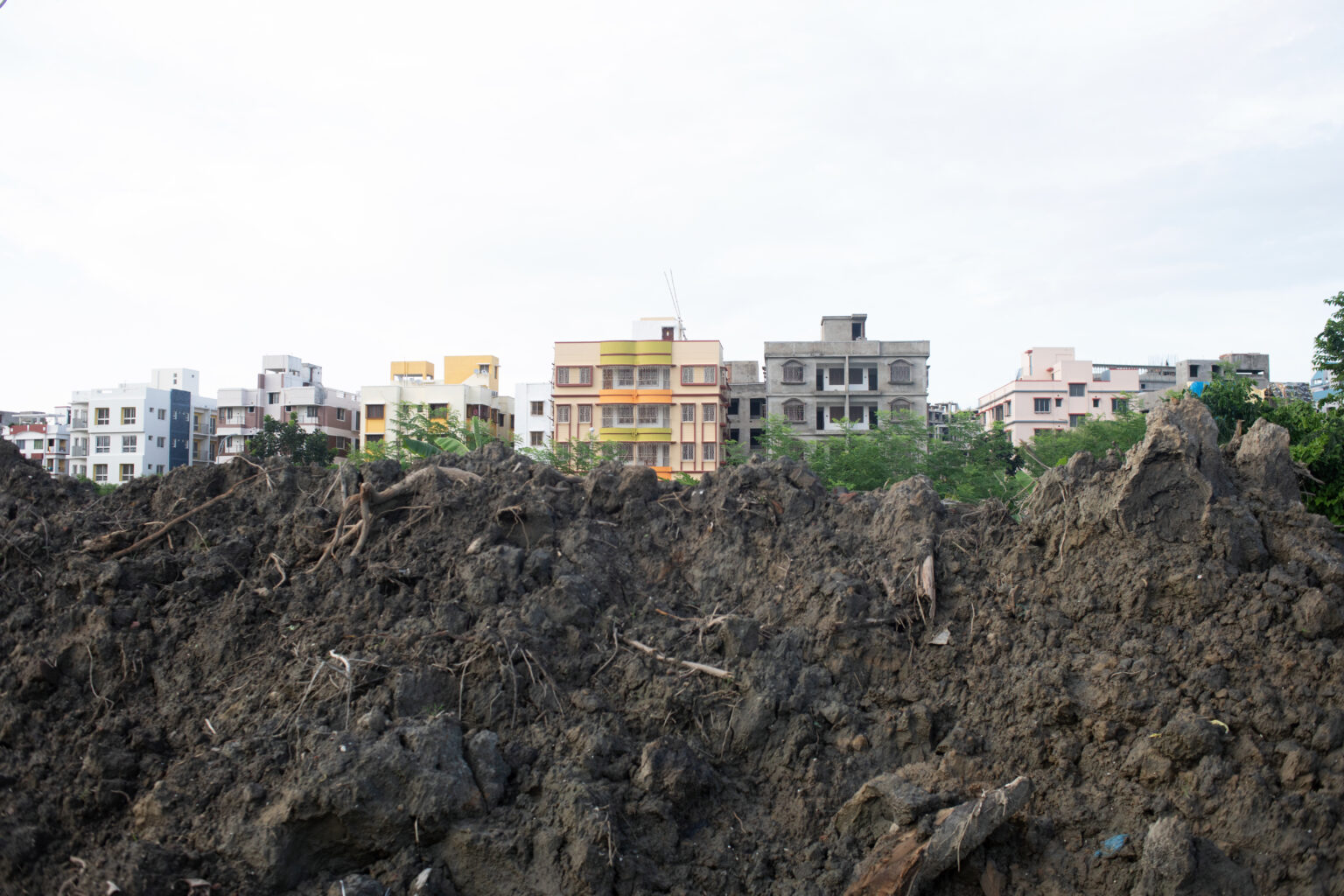
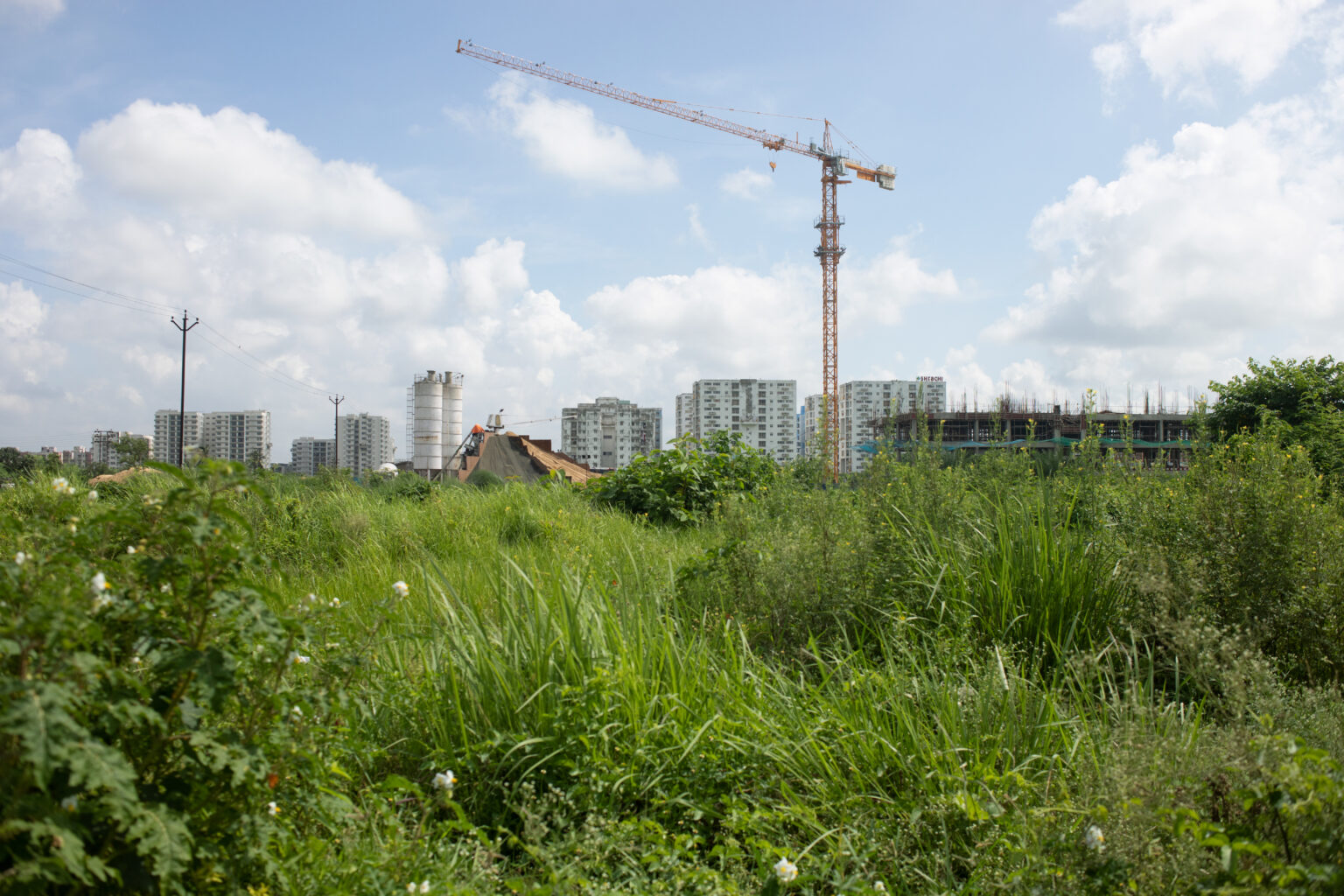
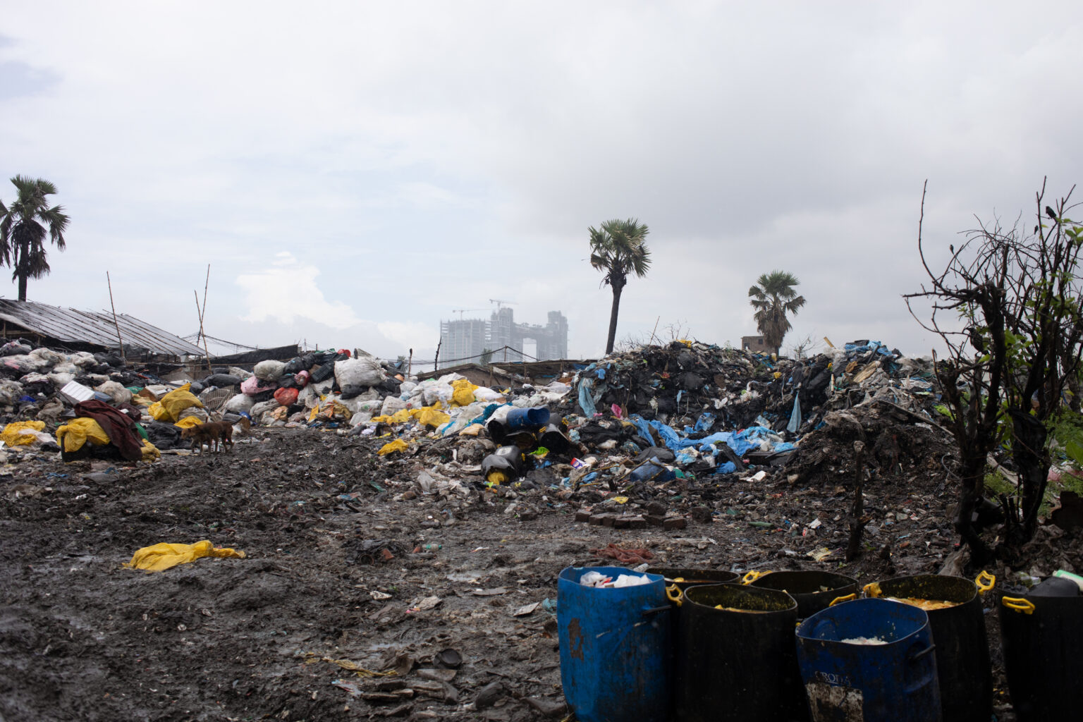
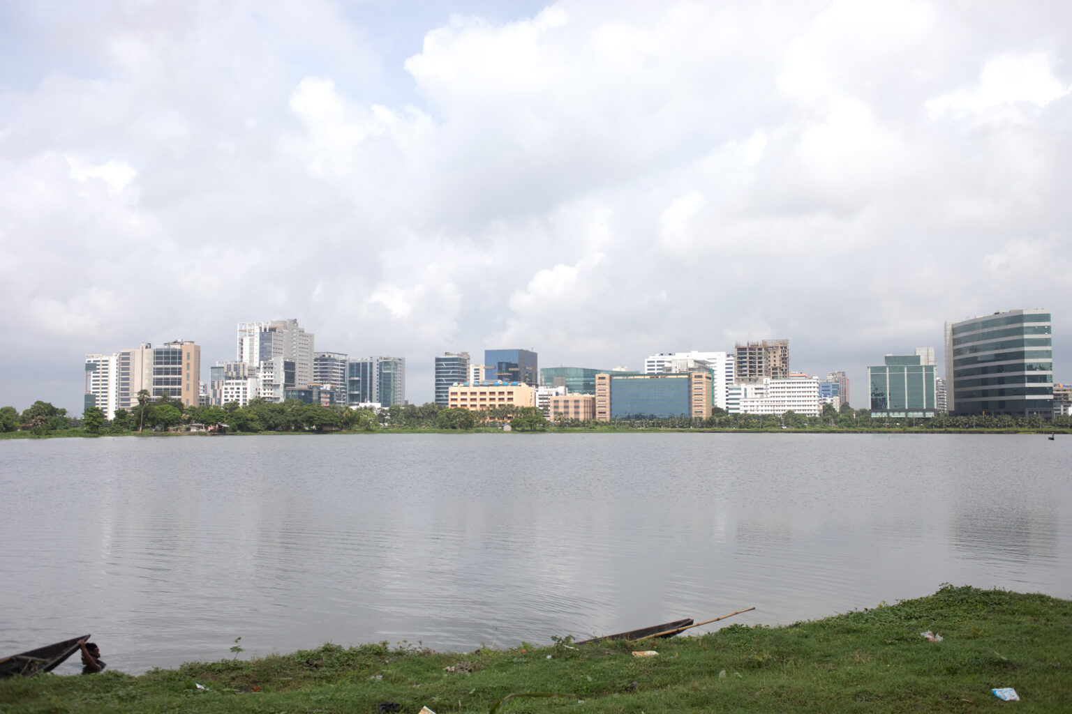
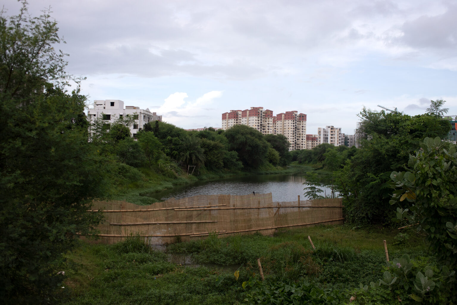
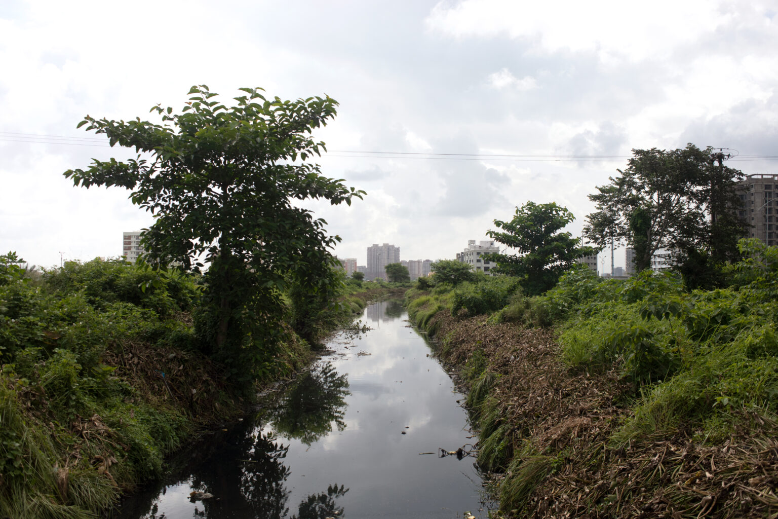
The region’s ecology consisted of unaltered patches of natural habitat, including grasslands, wetlands, and marshlands. However, the ecology started changing soon after the economic boom of the late 1990s. Arable lands were converted into either high-rise complexes or sprawling offices. Sewage canals and water bodies were filled up, much to the chagrin of the local population. This affected the soil’s moisture content, leading to new problems regarding the drainage of waste and water from the city. At the same time, wetlands in the region began to disappear. Urban wetlands are an essential part of the ecosystem, which help in natural flood mitigation, recharging of aquifers, and sediment trapping along with atmospheric and climatic fluctuations. They also play a vital role in trapping and removing waste [2].
New Town and Rajarhat collectively have faced a drastic loss in terms of water bodies. Between 2001 and 2008, the area covered by water bodies decreased by 4.68% [3]. This is not only affecting this particular peri-urban region but also Kolkata since all its shields to natural disasters are vanishing. Due to the disappearance of these grasslands and urban wetlands, the local wild flora and fauna have also been hugely impacted. The area was home to different types of birds, butterflies, reptiles, and mammals such as jungle cats and jackals, whose natural habitat and population is shrinking.
One of the major impacts of this development is the increase in land surface temperature [LST] in the region [4]. An increase in LST over the years contributes to global warming as temperatures of particular regions rise. As the area was heavily dependent on agriculture, the green cover and vegetation became helpful in maintaining surface temperatures. Temesgen Alemayehu Abera and his fellow scholars note, “Vegetation cover can help to mitigate the impact of local warming related to drought. Vegetation suppresses the impact of local warming through increasing transpiration rates, which enhance transport of latent heat from the surface to the atmosphere, leading to surface cooling’’ [5]. Land use patterns related to developmental activities from 1990 to 2016 in New Town and Rajarhat have increased LST by 0.94°C [4].
The point of contention among most local residents and environmental activists remains that the government took environmental clearance for a small area of land but proceeded to sell/use land beyond that stipulated area, thereby going back on its initial promise of safeguarding and preserving the ecology of the region [1]. It is also noteworthy that the local urban planning authority, the West Bengal Housing Infrastructure Development Corporation Ltd. [WBHIDCO], and the government are now tracing the steps required to reverse the damage done in the last few years due to the relentless efforts of several organisations dealing with the environment.
As environmentally-conscious individuals continue resisting the encroachment of natural habitats around the world, here is an area rich in natural elements which is being ignored and slowly put to death every single day. Unplanned developmental practices and increasing pressures of urbanisation have disrupted the region’s ecological balance, thus creating an immense gap between the demand and supply of the ecological needs of the city and its population. Within the next few years, it will be challenging to reclaim what is lost if the government and relevant authorities do not step up their efforts to restore the skewed balance between nature and urbanisation.
Calculated and sustainable urban planning to arrest this growth in temperature is the need of the hour. The primary agenda of the government and WBHIDCO should be the compensation of lost green cover, as well as the restoration of water bodies and planned construction activities in ecologically-sensitive zones.